[

DATA ACQUISITION

]

Capture the World. Precisely.

Capture the World. Precisely.

We collect accurate, reliable data from real-world environments to create a strong foundation for mapping, analysis, and intelligent decision-making.

We collect accurate, reliable data from real-world environments to create a strong foundation for mapping, analysis, and intelligent decision-making.

[

APPROACH

]

Built Around Accurate Data.

From field collection to digital capture, TECQZA connects acquisition methods and technology to build reliable datasets for real-world applications.

01

CAPTURE

Collect accurate information from the real world.

01

CAPTURE

Collect accurate information from the real world.

02

CONNECT

Bring different data sources into one ecosystem.

02

CONNECT

Bring different data sources into one ecosystem.

03

SCALE

Expand data collection from projects to large regions.

03

SCALE

Expand data collection from projects to large regions.

[

CAPABILITIES

]

From Field Data to Digital Intelligence.

Technology designed to capture, validate, structure, and deliver reliable real-world data.

01

FIELD SURVEYS

Capture data from the ground.

Collect accurate information through field-based methods.

01

FIELD SURVEYS

Capture data from the ground.

Collect accurate information through field-based methods.

02

REMOTE SENSING

Observe from above.

Capture large-area information through remote technologies.

02

REMOTE SENSING

Observe from above.

Capture large-area information through remote technologies.

03

DRONE MAPPING

Capture detailed environments.

Generate high-resolution data from aerial surveys.

03

DRONE MAPPING

Capture detailed environments.

Generate high-resolution data from aerial surveys.

04

GPS & GNSS

Locate with precision.

Collect accurate geographic coordinates and field measurements.

04

GPS & GNSS

Locate with precision.

Collect accurate geographic coordinates and field measurements.

05

IOT & SENSORS

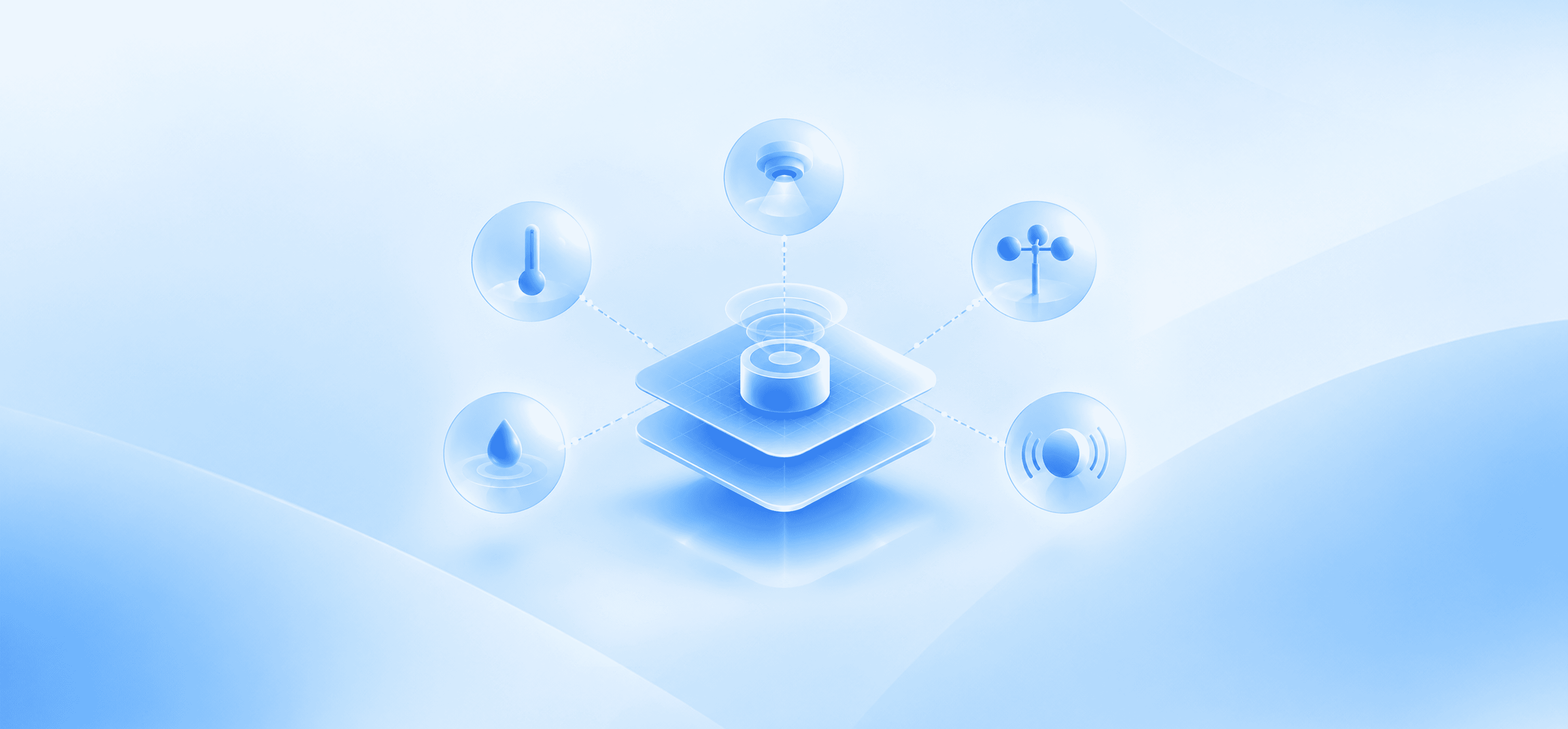
Monitor what is happening.

Capture continuous data from connected environments.

05

IOT & SENSORS

Monitor what is happening.

Capture continuous data from connected environments.

06

DATA VALIDATION

Make every dataset reliable.

Check, verify, and prepare acquired data for further use.

06

DATA VALIDATION

Make every dataset reliable.

Check, verify, and prepare acquired data for further use.

[

CONNECTED ECOSYSTEM

]

Everything Connected. Nothing Isolated.

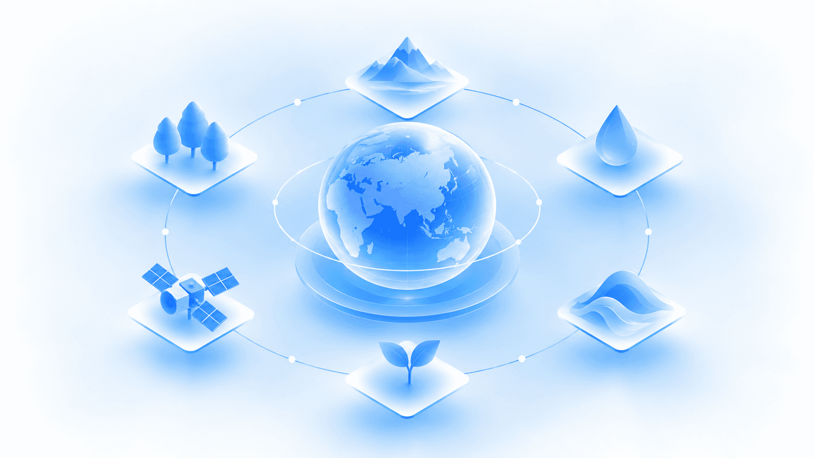
TECQZA connects different layers of data acquisition to create a seamless flow from real-world capture to usable intelligence.

01

FIELD

02

CAPTURE

03

PROCESSING

04

INTELLIGENCE

[

TECHNOLOGY

]

Built on Modern Data Acquisition Technology.

We combine proven capture technologies with modern processing and geospatial capabilities to deliver reliable datasets.

01

SURVEYING TECHNOLOGY

Accurate tools for ground-level data collection.

02

DRONE TECHNOLOGY

Efficient aerial capture for detailed environments.

03

REMOTE SENSING

Large-scale observation through remote data sources.

04

GPS & GNSS

Precise positioning and geographic measurement.

05

IOT & SENSORS

Continuous data from connected environments.

06

GIS & DATA SYSTEMS

Organise and connect acquired data for analysis.

[

APPLICATIONS

]

Built for Real-World Challenges.

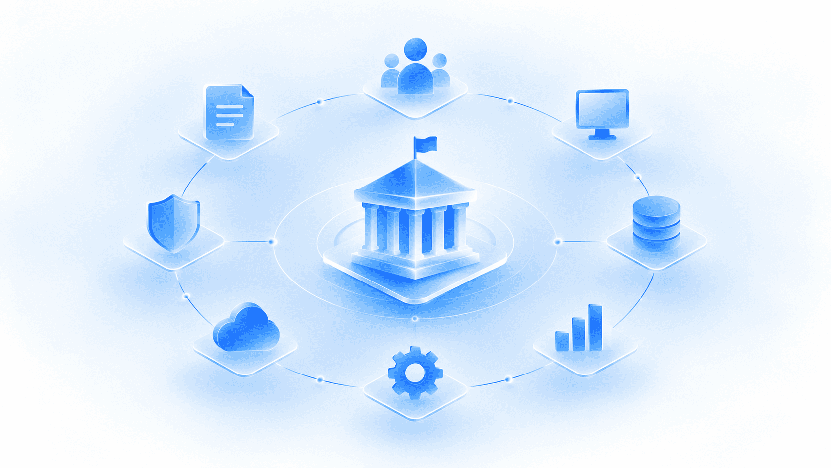
Reliable data acquisition that helps organisations understand, monitor, and manage complex environments.
01

GOVERNANCE

Accurate data for smarter administration and planning.

01

GOVERNANCE

Accurate data for smarter administration and planning.

01

GOVERNANCE

Accurate data for smarter administration and planning.

02

INFRASTRUCTURE

Survey and monitor assets, networks, and sites.

02

INFRASTRUCTURE

Survey and monitor assets, networks, and sites.

02

INFRASTRUCTURE

Survey and monitor assets, networks, and sites.

03

MINING & RESOURCES

Capture detailed information across resource-rich areas.

03

MINING & RESOURCES

Capture detailed information across resource-rich areas.

03

MINING & RESOURCES

Capture detailed information across resource-rich areas.

04

AGRICULTURE

Collect field data for smarter farming decisions.

04

AGRICULTURE

Collect field data for smarter farming decisions.

04

AGRICULTURE

Collect field data for smarter farming decisions.

05

ENVIRONMENT

Monitor landscapes, ecosystems, and environmental change.

05

ENVIRONMENT

Monitor landscapes, ecosystems, and environmental change.

05

ENVIRONMENT

Monitor landscapes, ecosystems, and environmental change.

06

URBAN DEVELOPMENT

Capture accurate data for planning growing cities.

06

URBAN DEVELOPMENT

Capture accurate data for planning growing cities.

06

URBAN DEVELOPMENT

Capture accurate data for planning growing cities.

[

FAQ

]

Questions, Clearly Answered.

What does TECQZA do?

What industries does TECQZA serve?

What are TECQZA’s core capabilities?

Does TECQZA work with government organisations?

Can TECQZA build solutions for businesses?

Can TECQZA integrate with existing systems?

What kind of geospatial solutions do you provide?

Can TECQZA handle large-scale projects?

How do I start a project with TECQZA?

What does TECQZA do?

What industries does TECQZA serve?

What are TECQZA’s core capabilities?

Does TECQZA work with government organisations?

Can TECQZA build solutions for businesses?

Can TECQZA integrate with existing systems?

What kind of geospatial solutions do you provide?

Can TECQZA handle large-scale projects?

How do I start a project with TECQZA?